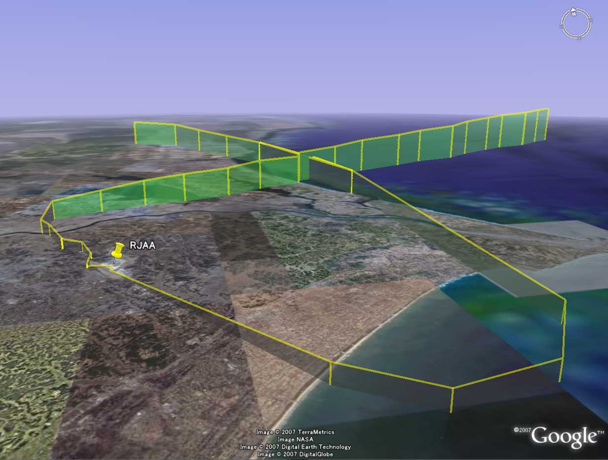
Welcome to KG-to-GE (KG-ACARS to Google Earth) Site.
This site offers a conversion tool of KG-ACARS’s text log to kml format file of Google-Earth.You must be a KG-ACARS user to enjoy this function. Please visit http://www2.plala.or.jp/hikokibiyori/soft/kgacars/index.html and set it up first.
KG2GE
Instruction:
Please note that depending on data the log contains, the plot may not be shown or shows inaccurate plots. Although we are analyzing logs of every flights we have ever taken to make this converter more accurate and functional, unfortunately you may not enjoy data-plotting of all flights on the map.
When a data becomes too heavy, the converter may not work properly. The KG-ACARS continuously takes logs by flight number regardless of the date. Therefore it is recommended that you keep logs in a separate folder at the end of each session of KG-ACARS.


Special Thanks To:
K.G-san
Naky-san
K.G-san
Naky-san